
ISRO Successfully Launches Navigation Satellite NVS-03 to Strengthen India’s NavIC System
- International
- (Asia/Kolkata)
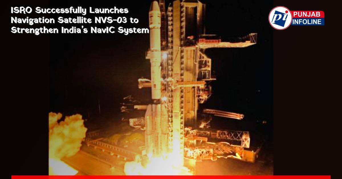
The 2,232-kg satellite was launched aboard the GSLV-F18 rocket from Sriharikota; it aims to provide navigation services across India and up to 1,500 km beyond its borders
The Indian Space Research Organisation (ISRO) has achieved another milestone in space technology by successfully launching its navigation satellite NVS-03. The satellite was launched at 11:51 pm on Friday from the launch centre at Sriharikota in Andhra Pradesh aboard the GSLV-F18 rocket.
According to the information provided, all three stages of the rocket were completed successfully around 18 minutes after launch, and the 2,232-kg satellite reached its designated orbit. The mission is expected to further strengthen India’s navigation capabilities.
Navigation Services to Extend 1,500 Km Beyond India’s Borders
NVS-03 is part of India’s indigenous navigation system, NavIC. The system aims to provide accurate positioning and navigation services across the country and up to approximately 1,500 kilometres beyond India's borders.
The technology can be used for both military and civilian purposes. It is expected to help the armed forces obtain location and movement-related information around border areas. Navigation services for transportation, maritime activities and other sectors are also expected to benefit.
Need for an Indigenous Navigation System Emerged After the Kargil War
India felt the need for its own navigation system during the 1999 Kargil War. At that time, India sought assistance from the US GPS system for location information related to military activities, but the United States refused to provide the data.
Following this, India began working towards developing an independent navigation system. This effort led to the development of NavIC, which helps reduce the country's dependence on foreign navigation systems.
Satellite Launch Expected to Strengthen Defence Capabilities
The successful launch of NVS-03 marks an important step towards strengthening India's indigenous navigation capabilities. The satellite is expected to support navigation services in areas around the country's borders and beyond.
Access to accurate positioning information could also assist military operations and strategic activities. Through this satellite, India is taking another step towards greater self-reliance in space-based technology.